
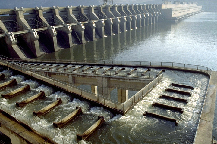
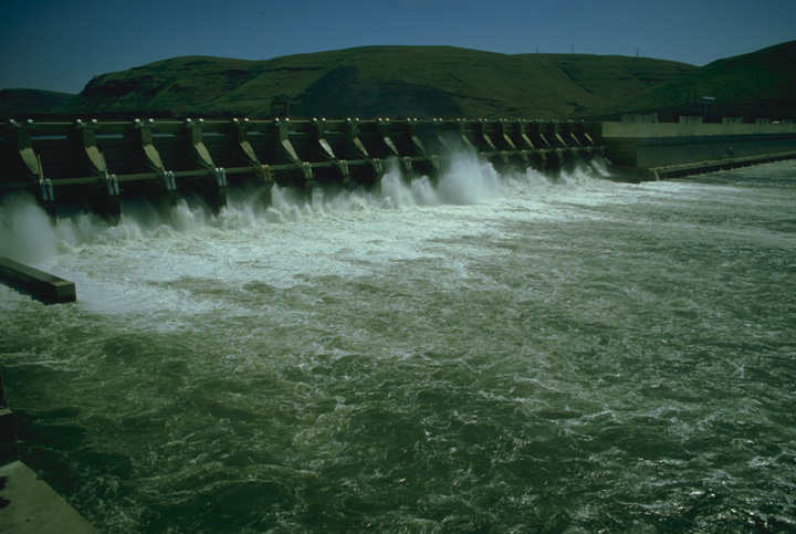
Project Description
- Sub-basin: Lower Columbia
- Stream: Columbia River
- Location: Rufus, Oregon
- Owner: Corps of Engineers, Portland District
- Type of Project: Storage
- Authorized Purpose: Flood Control, Power, Navigation
- Other Uses: Fishery, Recreation, Irrigation, Water Quality
Hydrologic Data
- Drainage area = 226,000 sq mi
- Maximum historical peak discharge = 1,240,000 cfs (1894)
- Maximum change per hour = 200,000 cfs
-
Lake Elevation (NGVD29)
Maximum pool = 276.5 ft
Full pool = 268.0 ft
Minimum pool = 257.0 ft - Usable Storage (257.0 to 268.0) = 534,000 AF
Powerhouse
- Number of units = 16
- Nameplate capacity = 2,160 MW
- Overload capacity = 2,485 MW
- Hydraulic capacity = 322,000 cfs
7 Day Project Status
Drag to select region -