
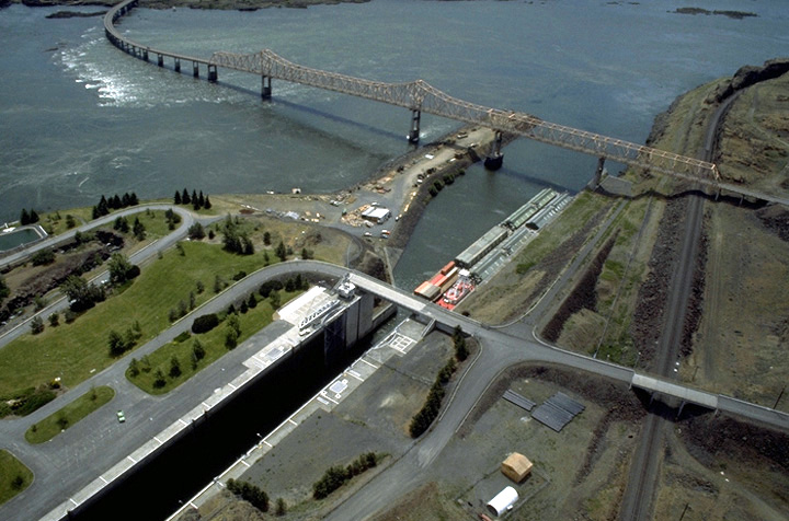

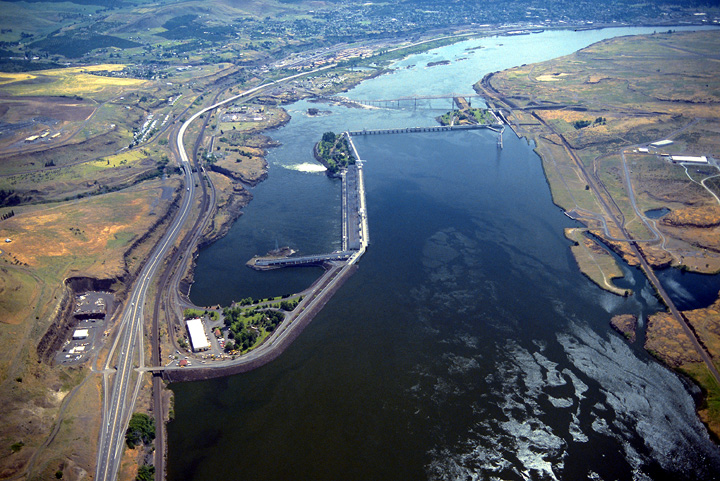
Project Description
- Sub-basin: Lower Columbia
- Stream: Columbia River
- Location: The Dalles, Oregon
- Owner: Corps of Engineers, Portland District
- Type of Project: Run-of-river
- Authorized Purpose: Power, Navigation
- Other Uses: Fishery, Recreation, Irrigation, Water Quality
Hydrologic Data
- Drainage area = 237,000 sq mi
- Maximum inflow (unregulated) = 1,240,000 cfs (1894)
- Maximum change per hour = 150,000 cfs
-
Lake Elevation (NGVD29)
Maximum pool = 182.3 ft
Full pool = 160.0 ft
Minimum pool = 155.0 ft
Powerhouse
- Number of main units = 22
- Nameplate capacity = 1,780 MW
- Overload capacity = 2,052 MW
- Fishwater units = 28 MW
- Station service units = 6 MW
- Hydraulic capacity = 375,000 cfs
7 Day Project Status
Drag to select region -