
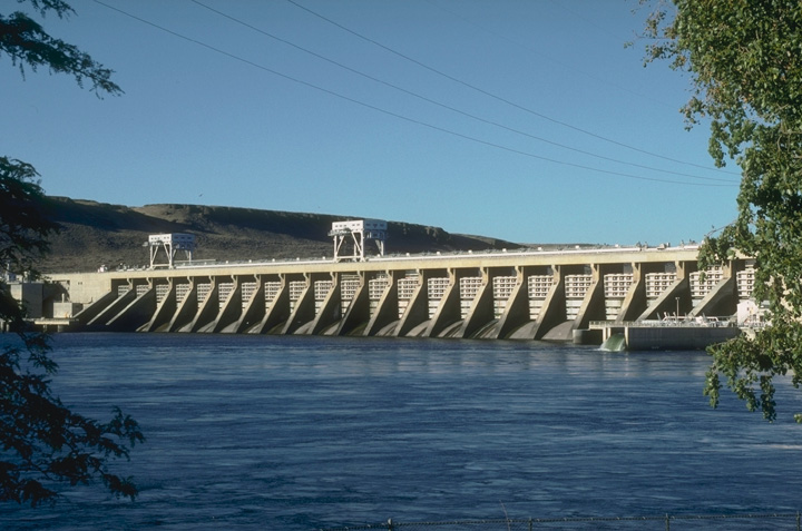
Project Description
- Sub-basin: Lower Columbia
- Stream: Columbia River
- Location: Umatilla, Oregon
- Owner: Corps of Engineers, Walla Walla District.
- Type of Project: Run-of-river
- Authorized Purpose: Power, Navigation
- Other Uses: Fishery, Recreation, Irrigation, Water Quality
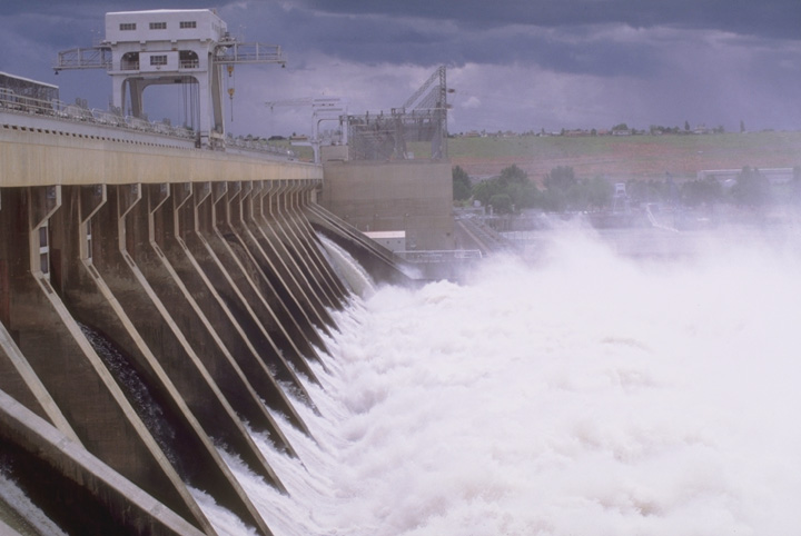
Hydrologic Data
- Drainage area = 214,000 sq mi
-
Maximum historical peak discharge:
Unregulated = 1,240,000 cfs (1894)
Regulated = 668,000 cfs (1894) - Maximum rate of change per hour = 150,000 cfs
-
Lake Elevation (NGVD29)
Maximum pool = 357.0 ft
Normal full pool = 340.0 ft
Minimum pool = 335.0 ft
Powerhouse
- Number of units = 14
- Nameplate capacity = 980 MW
- Overload capacity = 1,127 MW
- Hydraulic capacity = 232,000 cfs
7 Day Project Status
Drag to select region -