
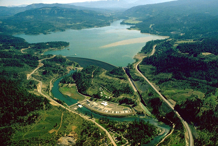
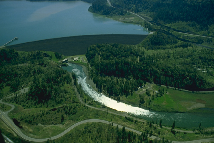
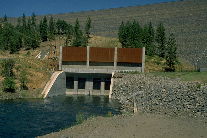
Project Description
- Stream: Rogue River
- Location: McLeod, Oregon
- Type of Project: Storage
- Authorized Purpose: Flood Control, Power, Recreation, Irrigation
- Other Uses: Fishery, Water Quality
Hydrologic Data
- Drainage area = 674 sq mi
- Maximum inflow (unregulated) = 55,000 cfs (1964)
-
Lake Elevation (NGVD29)
Full pool = 1,872.0 ft
Minimum flood control pool = 1,812.0 ft
Minimum conservation pool = 1,751.0 ft - Usable Storage (1,751.0 to 1,872.0) = 315,000 AF
Powerhouse
- Number of units = 2
- Nameplate capacity = 49 MW
- Overload capacity = 56.4 MW
- Hydraulic capacity = 2,600 cfs
Dam and Reservoir Info
7 Day Project Status
Drag to select region -