
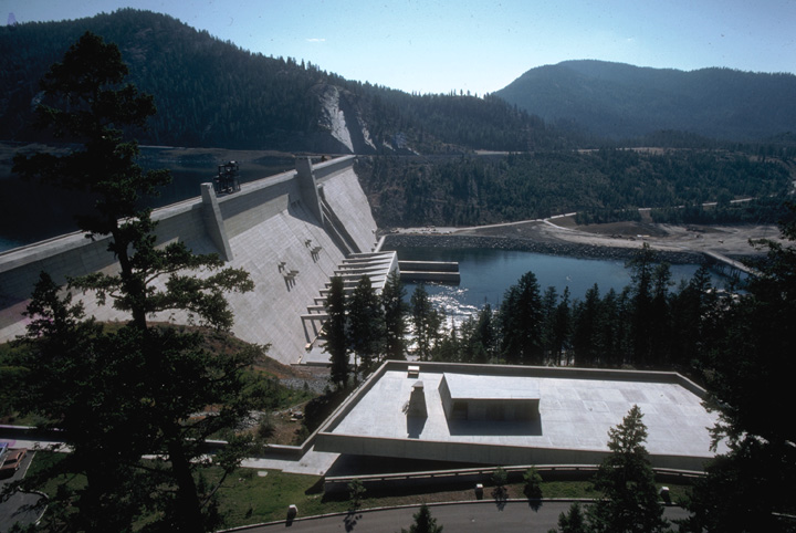
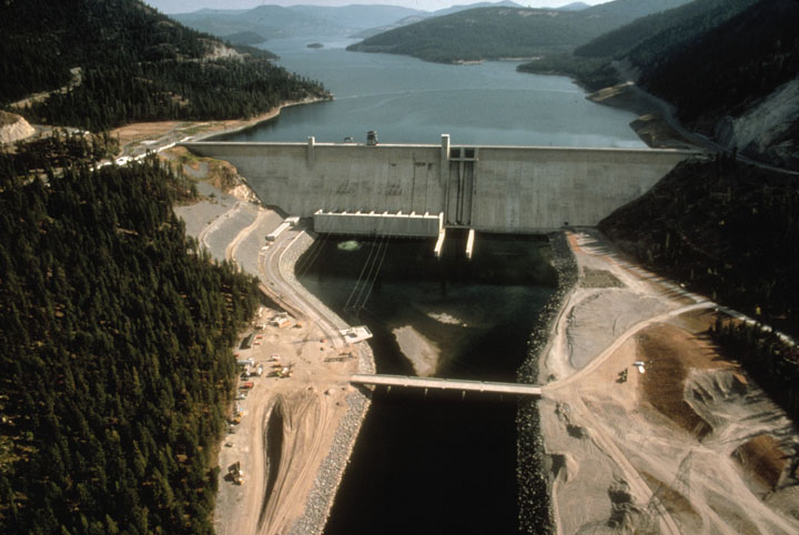
Project Description
- Sub-basin: Upper Columbia
- Stream: Kootenai River
- Location: Libby, Montana
- Owner: Corps of Engineers, Seattle District
- Type of Project: Storage
- Authorized Purpose: Flood Control, Power
- Other Uses: Fishery, Recreation
Hydrologic Data
- Drainage area = 8,985 sq mi
- Maximum historical peak discharge = 130,000 cfs (1894)
-
Lake Elevation (NGVD29)
Maximum pool = 2,459.0 ft
Full pool = 2,459.0 ft
Minimum pool = 2,287.0 ft - Usable Storage (2,287.0 to 2,459.0) = 4,979,500 AF
Powerhouse
- Number of units = 5
- Nameplate capacity = 525 MW
- Overload capacity = 604 MW
- Hydraulic capacity = 24,100 cfs
7 Day Project Status
Drag to select region -