
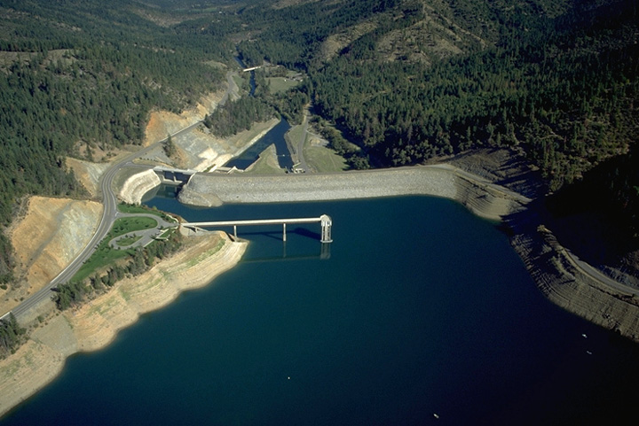
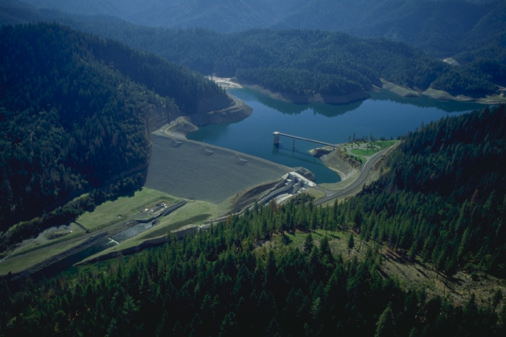
Project Description
- Stream: Applegate River
- Location: Applegate, Oregon
- Type of Project: Storage
- Authorized Purpose: Flood Control, Fish and Wildlife Enhancement, Irrigation
- Other Uses: Recreation, Water Quality
Hydrologic Data
- Drainage area = 225 sq mi
- Maximum inflow = 29,800 cfs (1974)
-
Lake Elevation (NGVD29)
Full pool = 1,987.0 ft
Minimum flood control pool = 1,889.0 ft
Minimum conservation pool = 1,854.0 ft
- Usable Storage (1,854.0 to 1,987.0) = 75,200 AF
Dam and Reservoir Info
7 Day Project Status
Drag to select region -